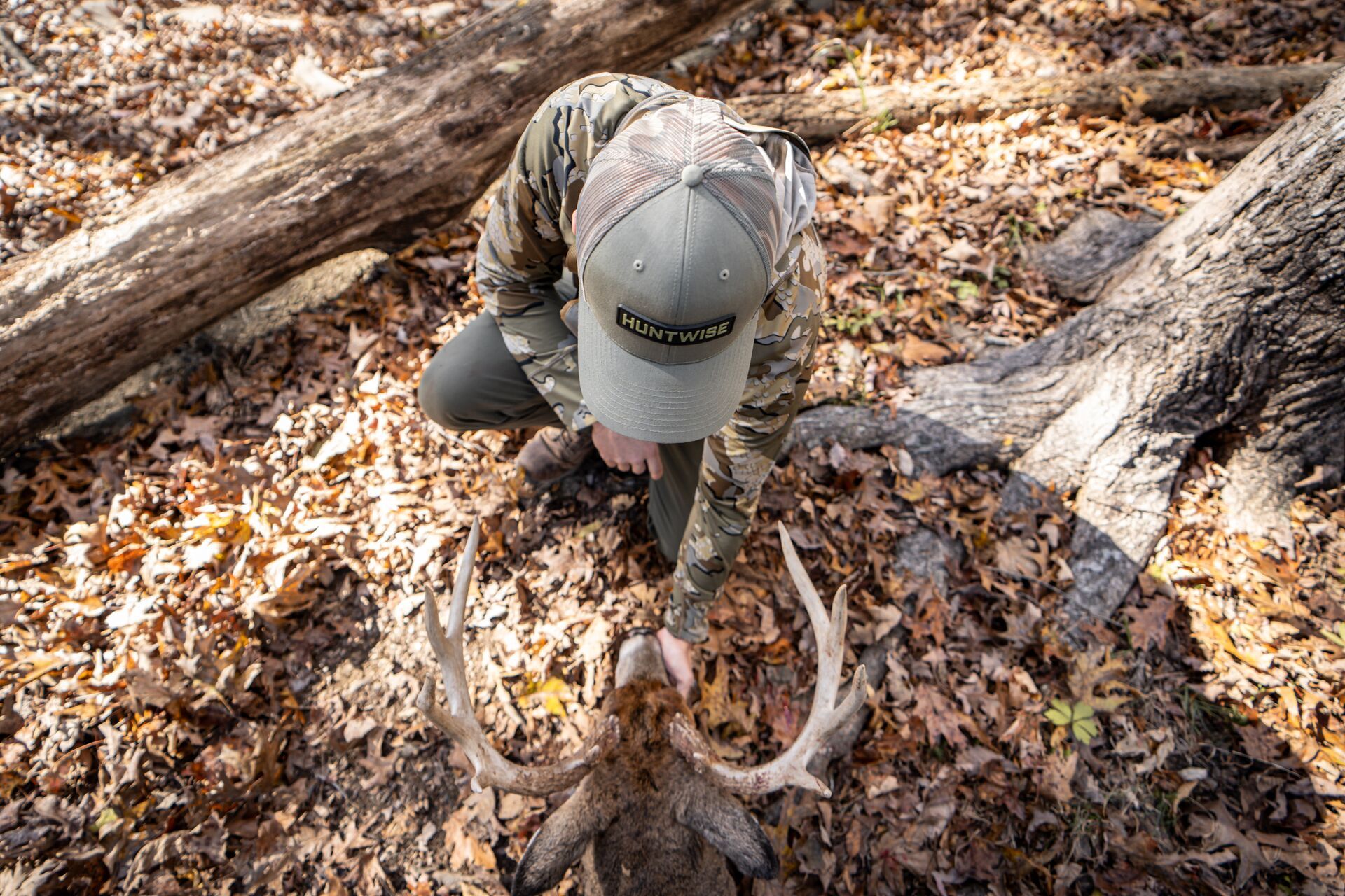
Field Guide / Hunting Tips
Why You Need a Hunting App with Property Lines

Hunting apps can take the guesswork out of hunt planning and improve your strategy in the field. Before you hunt, it's essential to know where you can legally pursue wild game.
A hunting app with property lines can eliminate any confusion about where you can and can't hunt, helping you scout the best locations. Let's take a look at what hunting apps can do for you, particularly apps featuring hunting maps with property lines (like HuntWise).
What Is a Hunting App?
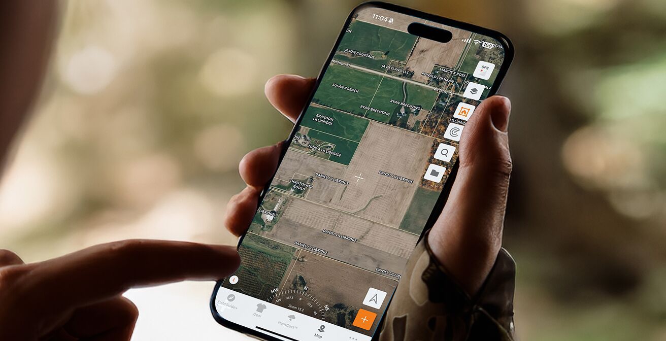
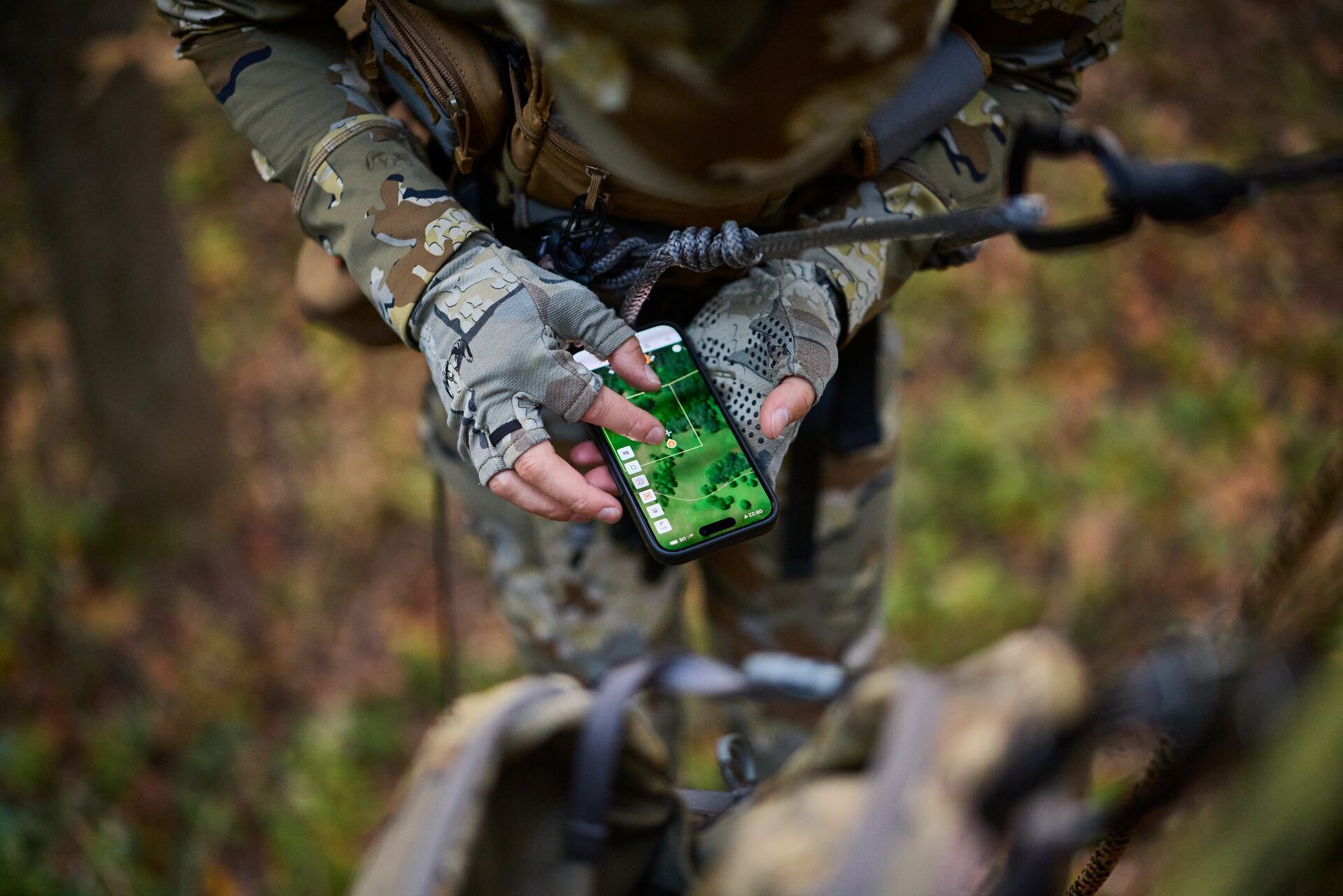
A hunting app is a digital tool typically available on a cell phone that helps hunters plan, navigate, and track their hunting activities. Most hunting apps include GPS maps, land boundaries, and property ownership details, and HuntWise is no different.
HuntWise comes preloaded with several mapping layers and features to help set you up for success. Some of the layers in the app include terrain, satellite imagery, and federal or state wildlife management zones. Other app features include weather forecasts, wind direction, scent carry, and sunrise and sunset times—helpful for hunting deer amid changing seasonal conditions.
Why Is a Hunting App with Property Lines Important?
A property line app for hunting can save you a lot of trouble when scouting hunting locations.
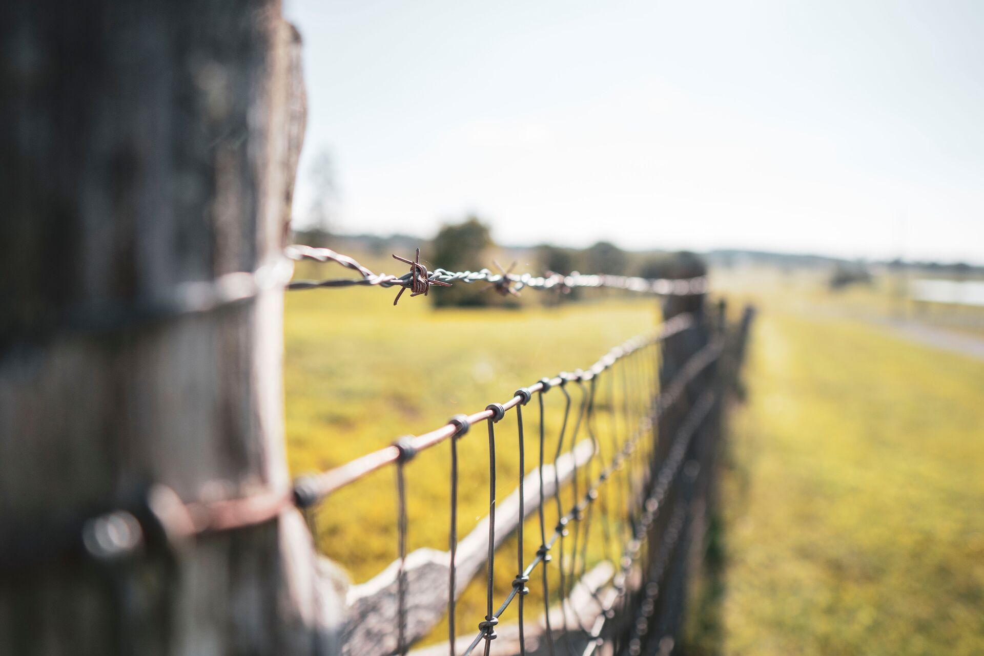
You may be asking yourself, "Why do I care about having that on my map? I just want to see the lay of the land." The property lines overlay helps you stay within the legal area where you have permission to hunt and avoid trespassing, whether on private or public land.
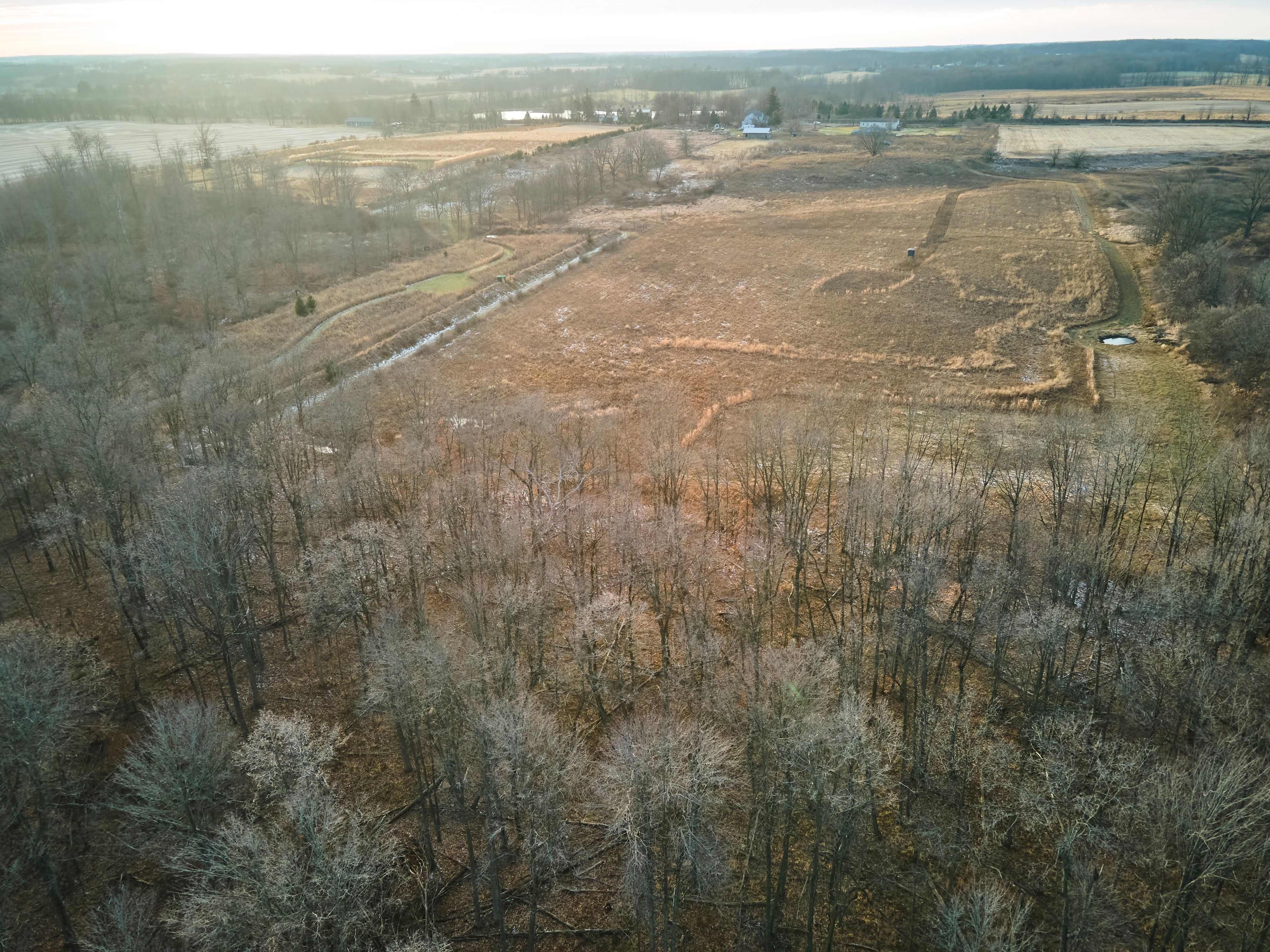
The property lines feature creates a land ownership map for hunting, showing which properties are private, which are open to the public, and the best way to access them. This can be extremely helpful if you are hunting near property borders or fragmented land parcels.
Showing respect for people's properties and their boundaries can also help you build trust for the future. It could also reduce your risk of fines, conflicts, or legal battles.
How Do I Find Public Hunting Land vs. Private Land?
One benefit that I briefly mentioned earlier was the ability to distinguish between private and publicly owned land. Having technology that functions as a public land hunting app as well as a private land hunting app helps you find the best legally permissible options for your hunt.
Using a hunting app equipped with a map feature and multiple layer options makes it easy to identify public, private, and leased properties. You can also verify borders by referring to maps of public hunting grounds on state wildlife agency websites.
If you are trying to confirm land ownership shown on a hunting map, you can reference the County GIS (Geographic Information System) database. Look for markers such as Wildlife Management Areas (WMAs), National Forests, and state game lands. If you still have any doubt, contact the local game warden or state agencies for official land access information.
Is There a Free App That Shows Property Lines For Hunting?
As you read here, you're probably thinking, "Is there a free app for this?"
Yes, there are free apps that show basic property boundaries, but the details will most likely be limited, showing major public lands, but not the ownership details of private land. Paid versions often show updated parcel data and landowner names (and possibly contact information), and they allow offline use.
The free version of HuntWise includes land boundaries and mapping features. However, if you want to take the next step, the Pro or Elite versions offer additional features, including extended weather forecasts through the HuntCast feature and corresponding animal behavior tracking. These features can help when hunting ducks or other migratory waterfowl.
How Do I Know If I'm on Public Land?
Now you know how to find public and private land before going out on your hunt. You'll also need to be able to determine whether you are on public land while in the field.
Some things that can help include checking GPS-enabled hunting apps that show a public land overlay, or looking for posted signs that say either 'private property' or 'public'. You can also look at official state or federal maps and use a compass and/or GPS coordinates to verify your location in comparison to known land boundaries.
When in doubt, always assume land to be private until proven otherwise.
What Is The Best Hunting App For Property Lines?
HuntWise is ideal for identifying property lines when hunting or scouting, and it features offline map capabilities. The free version is powerful for mapping, property boundaries, and hunting tools such as day-of animal behavior/movement forecasts. However, with a single subscription, you can view detailed property lines and landowner information in all 50 states.
One of the most significant benefits of HuntWise's mapping capability is that it provides you with landowner contact information so you can request permission to hunt. If you're like me, being able to pull up a HuntWise map to find out who owns property and having a way to contact them is such a huge asset. It makes a night-and-day difference from the old practice of going to the county auditor, finding the landowner, and not having a way to contact them (which is a whole other hassle).
I have used HuntWise for years! In my opinion, it offers the best combination of forecasting, mapping, and property lines in an app.
Download the free version of the app to give it a test drive, and I bet you'll upgrade to the next subscription level by hunting season.
HuntWise is the Best Property Line App for Hunting Success
Knowing where you can legally hunt is crucial for planning a successful day in the field. If you're looking for hunting maps with property lines, a state-of-the-art app can help.
To view property lines while planning your hunt (plus plan your hunt around the best animal movement, weather, and wind insights), download HuntWise. You'll be able to access details about the boundaries of public and private land, property owner contact information, and other resources to ensure you're hunting in the right spots.
Don't let peak season pass you by without the best hunting app with property lines!
Download HuntWise and plan your peak season hunt free during your first week in the app.
Previous in Hunting Tips
More Content Like This
How to Find Last Minute Hunting Land
To find public hunting land now, use hunting apps or online maps to locate nearby public access areas, including WMAs, national forests, and BLM land. Focus on easily accessible locations or overlooked parcels, then confirm access points and regulati...Read More
Read More
Clover is King: How to Plant Clover Deer Food Plots
Clover is an essential forage in any deer food plot due to its high protein content (up to 35%), palatability, and longevity, as it can thrive for several years if carefully managed. From spring to summer, clover provides crucial nutrition for antler...Read More
Read More
How to Find Public Hunting Land Near Me (Even Those Hidden Gems)
"Where to hunt this season?" could be your biggest question right now. Whether you're a new hunter or a seasoned and avid hunter, everyone needs access to land for hunting – preferably really good land that delivers the game they're after. Read More
Read More- Hunting Tips
How to Find Last Minute Hunting Land
To find public hunting land now, use hunting apps or online maps to locate nearby public access areas, including WMAs, national forests, and BLM land. Focus on easily accessible locations or overlooked parcels, then confirm access points and regulati...Read More
Read More - Hunting Tips
Clover is King: How to Plant Clover Deer Food Plots
Clover is an essential forage in any deer food plot due to its high protein content (up to 35%), palatability, and longevity, as it can thrive for several years if carefully managed. From spring to summer, clover provides crucial nutrition for antler...Read More
Read More - Hunting Tips
How to Find Public Hunting Land Near Me (Even Those Hidden Gems)
"Where to hunt this season?" could be your biggest question right now. Whether you're a new hunter or a seasoned and avid hunter, everyone needs access to land for hunting – preferably really good land that delivers the game they're after. Read More
Read More
1 of 3