Field Guide / Hunting Tips
How to Hunt the Whitetail Rut (Successfully)

When it comes to the annual whitetail rut, you no longer have to leave it to chance, your best guess, or any of the outdated and inaccurate myths and urban legends that have been passed down from hunter to hunter over time.
What is the Whitetail Rut?
It's the annual mating season for white-tailed deer. The rut takes place in the fall, typically from October through mid-November. However, peak activity varies by region.
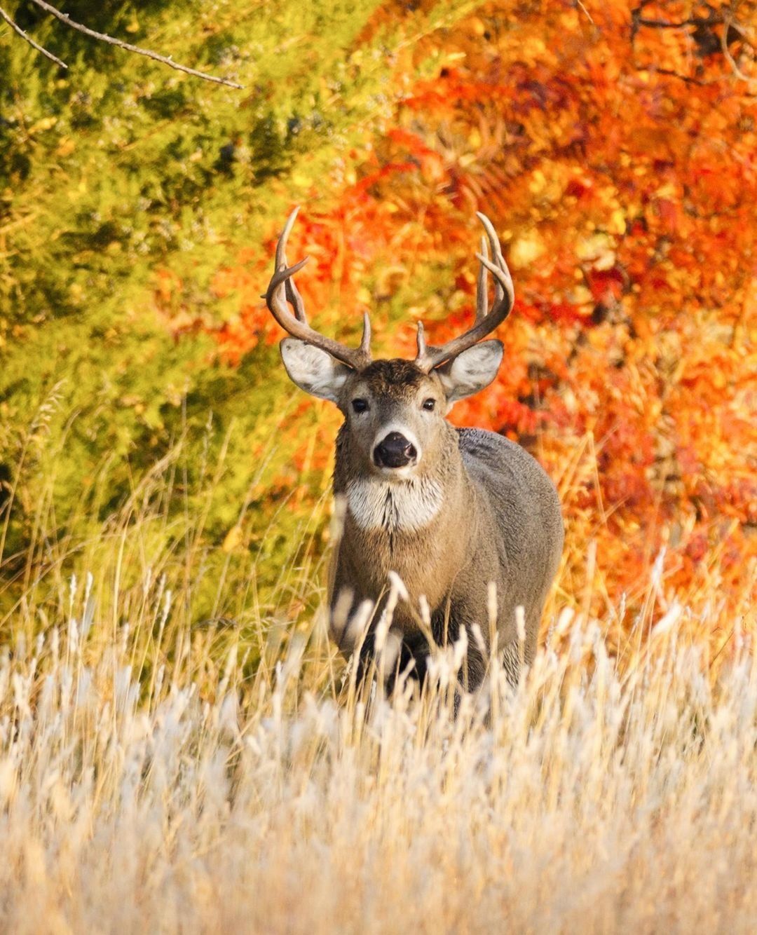
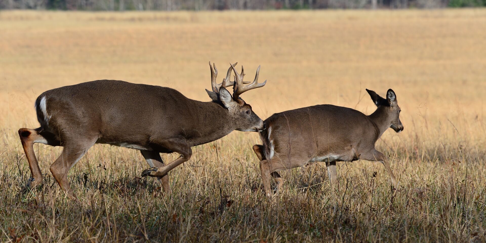
During this breeding season, bucks become more active and aggressive as they compete for the attention of does as they come into estrus, or heat. Throughout the rut, bucks travel extensively, mark their territory with rubs and scrapes, and engage in sparring and fights with other bucks.
When Is Whitetail Deer Rut?
The rut starts at the same time every year (usually in October). However, rut activity is weather-dependent.
It doesn't matter what the weather or phase of the moon is, the rut starts at the same time every year.
How do we know that? We have ultrasound data from thousands of does over three decades, alongside many other studies conducted by biologists around the country, to prove it — but rut activity varies greatly depending on the weather.
If it's a 90-degree day in late October, deer will not be very active. However, if it drops thirty to forty degrees a few days later, deer are going to be very active. Once cooler temperatures hit, you find bucks cruising a lot more.
In the upper Midwest, for example, trail cam activity noticeably picks up when the temperature is under 50 degrees.
The Weather Impacts Rut Activity
Daylight rut activity is most affected by the weather. Deer are still being bred at the same time each year, it's just that a lot of that activity will shift to nocturnal if the weather is warm.
Even some seasoned deer hunters who are very conscious and aware of weather-based rut activity have a misconception that the rut doesn't happen at the same time every year, which puts them behind other hunters who know to plan for the rut to start consistently every year.
For instance, even now, some of the moon charts could say that the rut should be really peaking around the opening day of gun season in Wisconsin — but if you wait for that period, you'll be three weeks behind.
Wisconsin's gun opener is typically the Saturday before Thanksgiving. By then, you're in the post-rut phase, and things are winding down. So, if you're counting on peak rut activity based on those moon charts, you'll be sorely, sorely mistaken.
The Rut Rollercoaster: Mature Bucks and Increased Activity
Again, the rut takes place at the same time every year. However, in addition to weather, another factor affecting rut activity year-over-year is whether you have either mature bucks or a number of younger bucks in your hunting area.
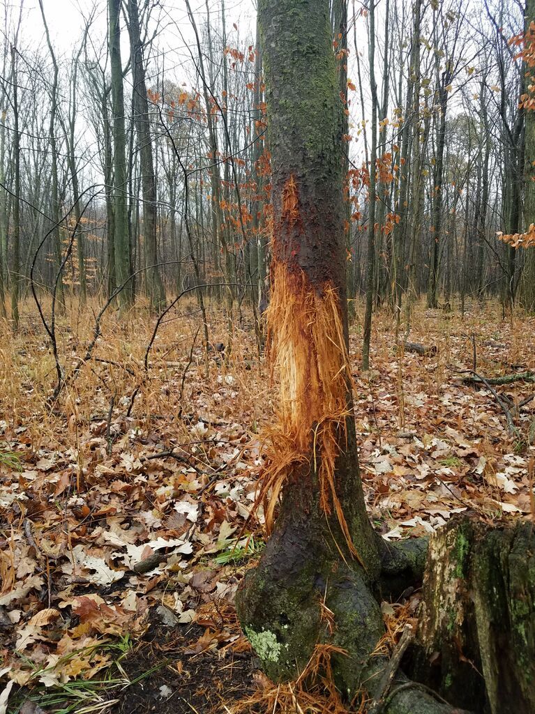
If you have older bucks around or a sizable number of bucks in general, they'll leave many more rubs and scrapes because there's a lot more competition. However, if you don't have older bucks or a large number of bucks around, you won't see that rub and scrape activity and will have to wait until the peak rut.
Based purely on a lack of rub and scrape activity, many hunters get into the peak rut and think the rut has just begun. The truth is, there just weren't any mature bucks or bucks in number around when the rut actually started in their hunting area weeks back.
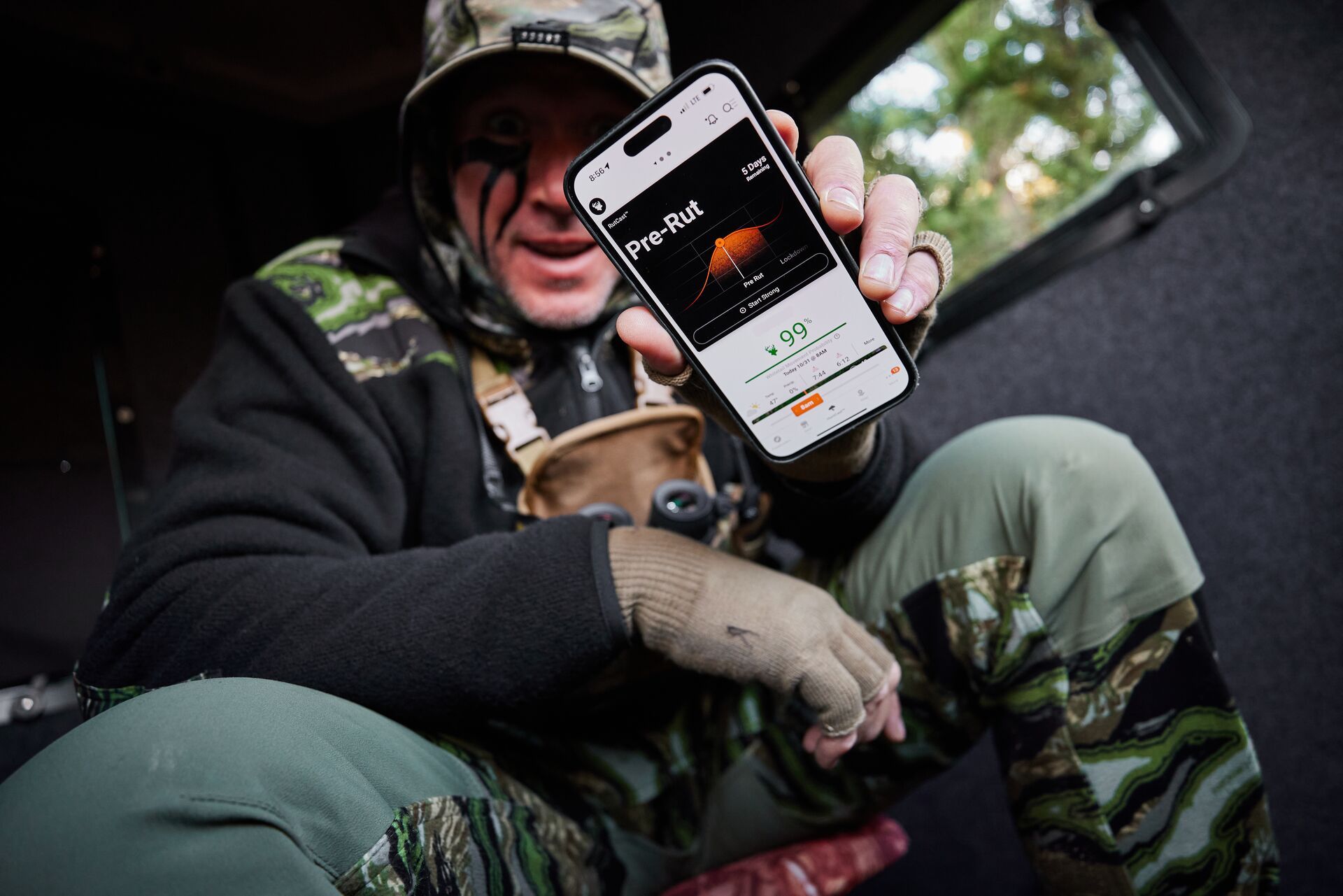
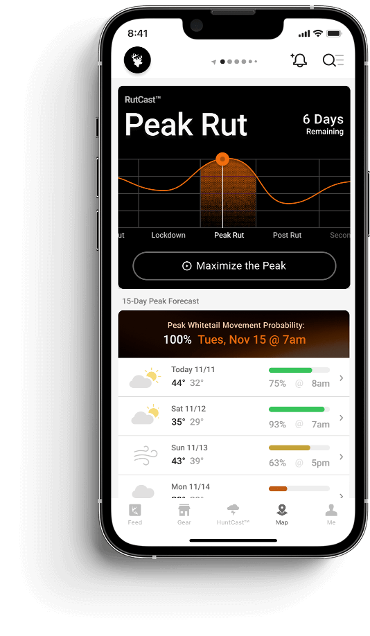
That's why it is crucial to have a tool like RutCast to accurately track every phase of the whitetail rut as they unfold on a localized, geo-specific level.
Trail Cams, Mock Scrapes, Tree Stands, and Buck Cruising Areas
One very effective three-part tactic is to link your trail cams to your mock scrapes, to your tree stands, and your buck cruising areas:
- Put your trail cams on your mock scrapes.
- Put your mock scrapes in front of your tree stands.
- Put your tree stands in front of cruising areas – such as in between bedding locations – so that bucks don't have to go out of their way to hit your scrape.
Speaking of scrapes, one myth that seems to crop up every year is that bucks have to freshen their scrapes up after it gets done raining. It's simply not true.
Bucks do not freshen their scrapes up in response to rain. Bucks freshen their scrapes up within their daily habits based on the low-stress/low-pressure opportunities between their normal travel routes.
Hunt the Weather During the Entire Rut
We cannot stress enough how important it is to have a tool like RutCast at your disposal. It combines scientific and historical data, expert insight, and real-time weather forecasting to track every phase of the whitetail rut as it unfolds on a localized, geo-specific level.
The worst thing you can do is take nine days off of work in a row and call that your "rutcation." Most times, three or four of those days will be horrible weather — and you shouldn't even be in a stand because you're spooking things on the property, especially if you're limited to a small parcel. Then, only three or four days are top-notch.
RutCast combines scientific and historical data, expert insight, and real-time weather forecasting to track every phase of the whitetail rut as it unfolds on a localized, geo-specific level.
You don't want to lose three or four quality days you could have taken another time. You're better off taking three weekends in a row and hitting the pre-rut, peak rut, and post-rut than putting all your eggs in one basket and burning out your land, your stand, your family, and your boss.
Case in point: As I typed this in southwest Wisconsin, I looked at RutCast to see that an upcoming Friday is a great morning to be in the stand. I can plan my time off based on that information and expect a much better chance of success than taking a longer, less data-informed rutcation.
Hunt The Whitetail Rut (More Successfully) With HuntWise
Use these tips to track and hunt the whitetail rut in your area right now, keep an eye on your app, and shoot straight. When you know the rut is coming, make sure you have your gear ready to go, your license in hand, and the HuntWise app to show you the best days to hunt and where to find those bucks.
If you don't have HuntWise yet, download the app and explore it free for a week.
You'll have an advantage over other hunters who don't have the insights you have into the start of rut season!
Previous in Hunting Tips
More Content Like This
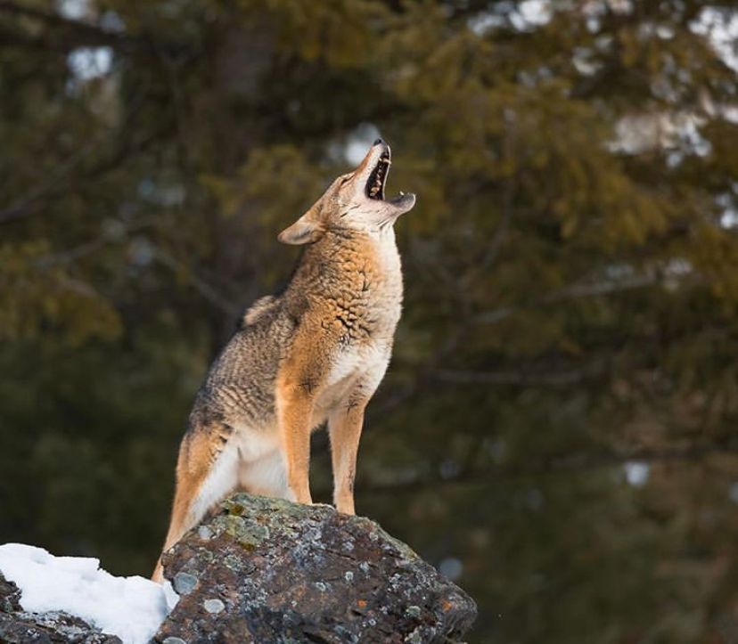
How to Hunt Coyotes on Public Land: 3 Tips to Improve Your Hunt
More often than not, coyote hunters will steer clear of public land, believing it is overrun by other hunters or that any surviving coyotes have already left the land. Do not believe these stereotypes! Read More
Read More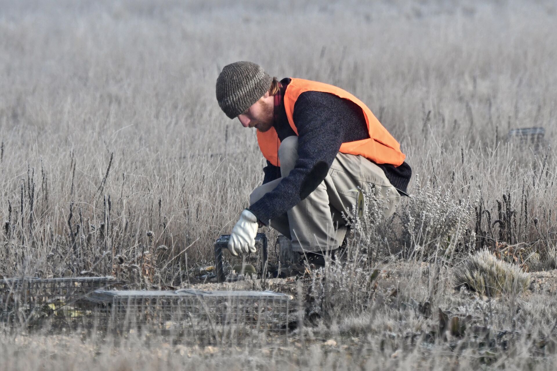
5 Types of Animal Traps (and How to Use Them)
Have you trapped, yet? If you want to expand your hunting toolkit, extend your hunting season, and connect with some lesser-known traditional hunting strategies, consider adding trapping to your hunting roster.Read More
Read More
6 Deer Tracking Tips for After the Shot
One crucial thing hunters can almost never know enough about is tracking a deer after a shot. Every hit is different. While you can hope for a deer that falls and stays right where it was when you hit it, they often keep moving and walking for some t...Read More
Read More- Hunting Tips
How to Hunt Coyotes on Public Land: 3 Tips to Improve Your Hunt
More often than not, coyote hunters will steer clear of public land, believing it is overrun by other hunters or that any surviving coyotes have already left the land. Do not believe these stereotypes! Read More
Read More - Hunting Tips
5 Types of Animal Traps (and How to Use Them)
Have you trapped, yet? If you want to expand your hunting toolkit, extend your hunting season, and connect with some lesser-known traditional hunting strategies, consider adding trapping to your hunting roster.Read More
Read More - Hunting Tips
6 Deer Tracking Tips for After the Shot
One crucial thing hunters can almost never know enough about is tracking a deer after a shot. Every hit is different. While you can hope for a deer that falls and stays right where it was when you hit it, they often keep moving and walking for some t...Read More
Read More
1 of 3